To overcome the limitations of traditional laser scanning, Leighton Asia recently trialed the latest land surveying technology – Mobile Mapping System (MMS) at projects in Hong Kong.
“If the site is large and complex, it can take us several days or even weeks to complete the surveying works. If we need to obtain a colourised point cloud, the processing time will be even longer,” said Michael Wong, Head of Survey in Leighton Asia.
“The latest MMS technology is an advanced and efficient solution to overcome these restrictions. The unit can be mounted to vehicles and vessels to gather landscape data accurately and efficiently in dense and complex terrain. We have experimented with it at two of our sites and the duration of surveying works can be compressed from one week to around two hours,” said Michael.

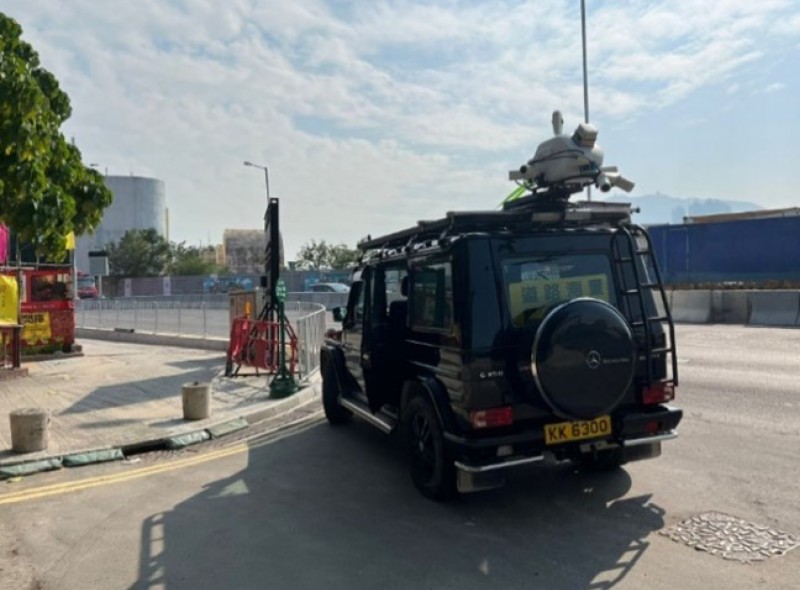
MMS being installed on vehicle for data scanning.
MMS contains different survey sensors including a laser scanner, inertial measurement unit (IMU), global navigation satellite system (GNSS) and digital camera. These features allow the unit to capture precise locations down to centimeters in real-time.
The travel distance can also be recorded accurately with an add-on accessory. The optical Displacement Measuring Interferometer (DMI) can capture measurements in GNSS-challenging conditions.

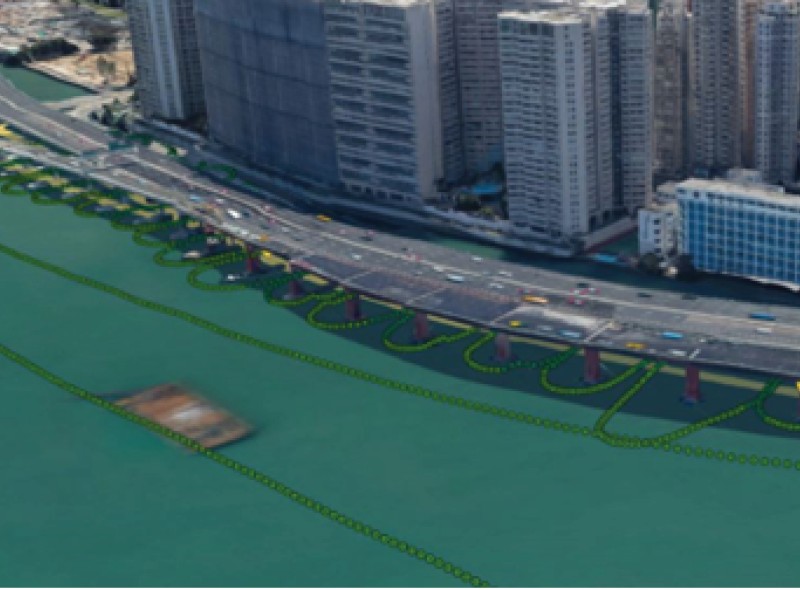
MMS surveying route done by a vessel at the IEC project along the Victoria Harbour.
MMS improves efficiency in mass data capturing. The orientation parameter captured is compatible with Point cloud.
“Information management defines the maturity level of smart construction. While we are proactively adopting technology to enhance safety and efficiency, we are also looking into ways to integrate the data harvested and analyse it strategically to enhance our operational performance,” Michael added.
